UK workshops
Our More than Maps team offers online and in-person workshops for students and young professionals, developed by researchers at the University of Southampton.
If you have any questions about our workshops or how to get involved, please contact Dr Sien van der Plank: sien.vanderplank@soton.ac.uk
Learn more about our workshops in the UK
Get Involved
Our More than Maps team offers online and in-person workshops for students and young professionals, developed by researchers at the University of Southampton.
All of our workshops are completely FREE to attend.
NEW! Interdisciplinary Workshop Series for A-Level Geography Students. More information below.
Schools
Our More than Maps workshops are highly interactive and designed to engage students with current environmental issues and state-of-the-art research methods.
The advanced nature of the workshops means they are best suited for senior students. Students specialising in Geography for their university entrance qualifications will find the workshops especially interesting, providing possible ideas for research projects, and case studies of hazard management and climate change adaptation.
Our team has also successfully worked with younger secondary school students. Please get in contact to discuss this opportunity further.
Our More than Maps workshops can be attended in-person at one of our partner institutions or online. For our online workshops, please ensure your students have access to a computer and a reliable Internet connection. We will provide online booklets available before, during and after the workshop.
What’s in it for your students?
- Dedicated time spent on relevance to A-level curriculum in each session
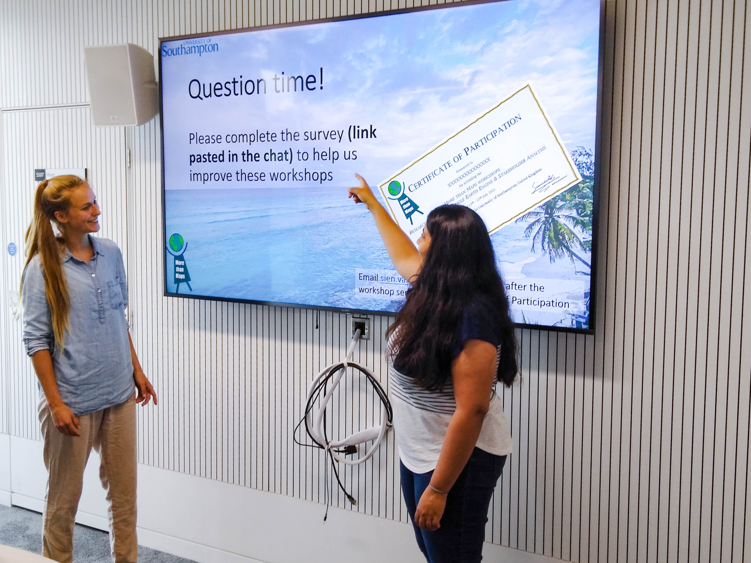
- Certificate of Participation for attendees
- New material covered each day
- Opportunity to attend 1, 2, 3, 4, or all 5 sessions – mix and match
Professionals
Each of our More than Maps workshops introduces a new area of research or methodological approach, and is therefore appropriate for young professionals working in a relevant environmental or climate sector wishing to expand their skillset. For example, a policy specialist with an interest in how hazard maps are produced, or a GIS specialist with an interest in how to identify stakeholders in a specific context.
Please take a look at our curriculum or get in contact to learn more about our workshop opportunities for professionals.
For more information on our latest workshops, please follow us on Twitter.

Overview of Workshops
Introduction to research disciplines
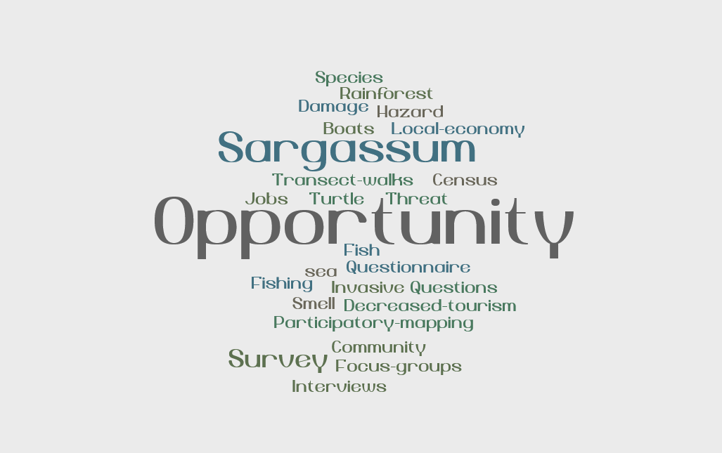
In research, like in school and college, we examine and analyse the world from different angles. We demonstrate perspectives of disaster research in the multi-hazard context of the Caribbean. Prof Emma Tompkins describes the types of disasters she researches in the Caribbean, including the threat of sargassum seaweed influxes, from her perspective as a geographer. Professor Jack Corbett offers the political perspective on how small islands in the Caribbean cope with disasters. Join this session to explore a multi-hazard case study across multiple disciplines.
What happened at Somerset Levels?
Flood risk is thought to be an ever-increasing threat across the UK and with the Thames barrier closed for the 200thtime in 2021, geographers are continuing to explore how we can best protect communities from flooding. Participants experience a university-level mini guest lecture which is then unpacked and discussed to offer students a method for calculating flood risk using the case study of Somerset Levels. This workshop gives an insight into how we can use innovative data to tackle environmental threats, including crowd-sourced and ‘big’ data, and apply analytical approaches to determine flood risk
How can we use environmental mapping?
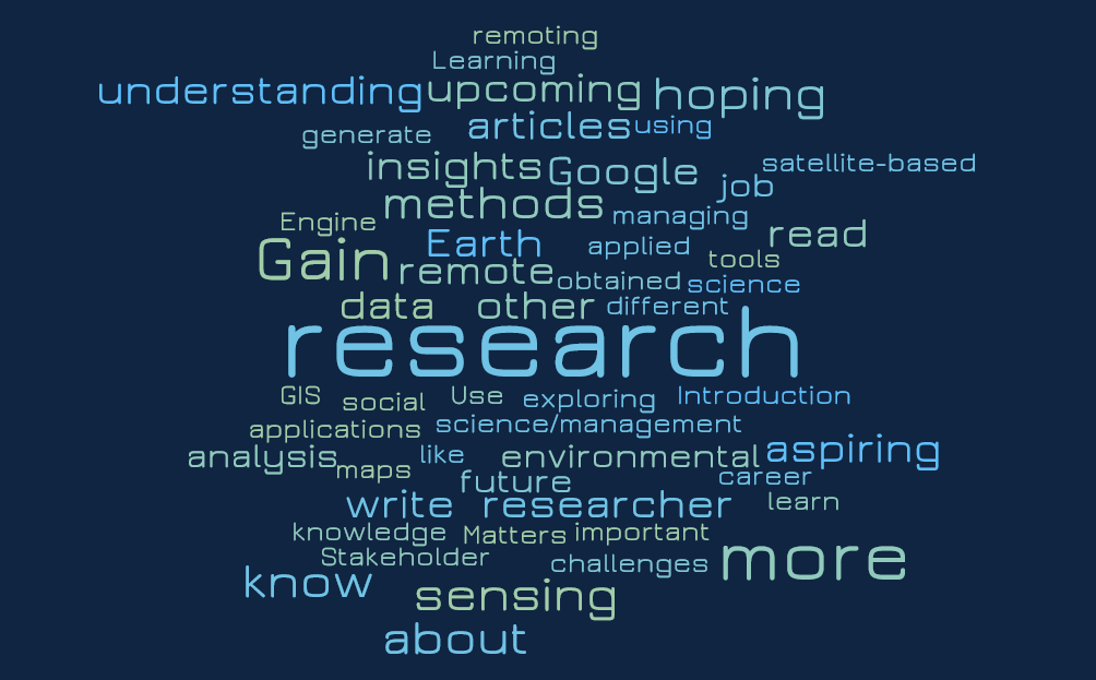
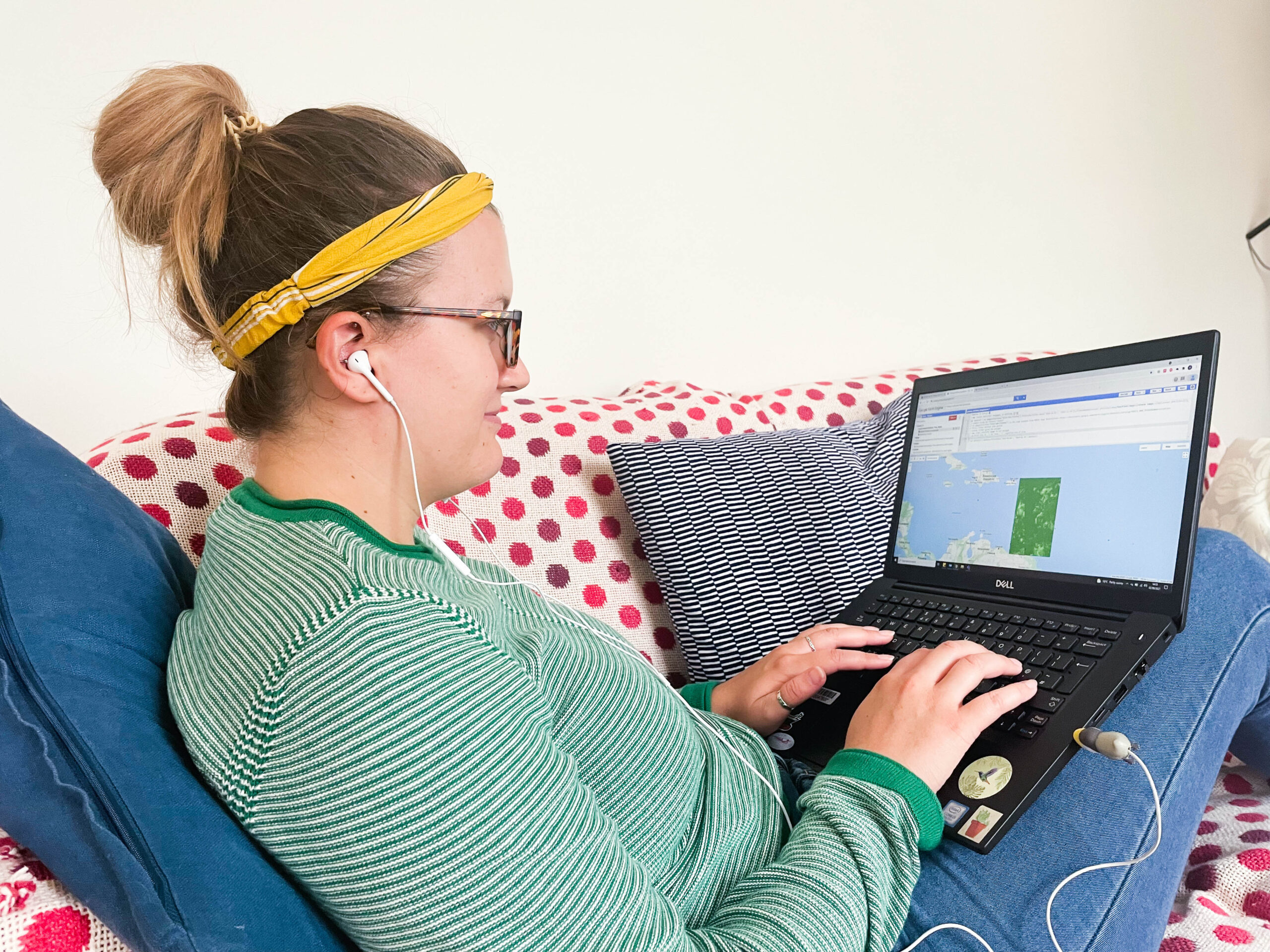
Join us for this workshop on how we can use data to monitor environmental events, hazards and disasters. Participants will have the opportunity to use space-borne imagery to detect and map environmental changes over time. This is an introduction to using the freely available web-based software Google Earth Engine and a chance to have a go at coding in JavaScript with support from us! Learn a new skill and gain insight into how scientists can monitor and map environmental hazards on the earth surface from space.
Why should households adapt to hazards?
In this workshop explore what householders can do within the home to be part of hazard and climate change adaptation. This workshop focuses mainly on a England based case study of coastal flooding and together with the students works through a method of assessing household motivation and capacity to adapt to coastal flood risk. We then explore how this framework might also work for other hazards in the UK context. Finally, the students are tasked to apply the same framework to the Caribbean context.
How can studying people help to solve environmental problems
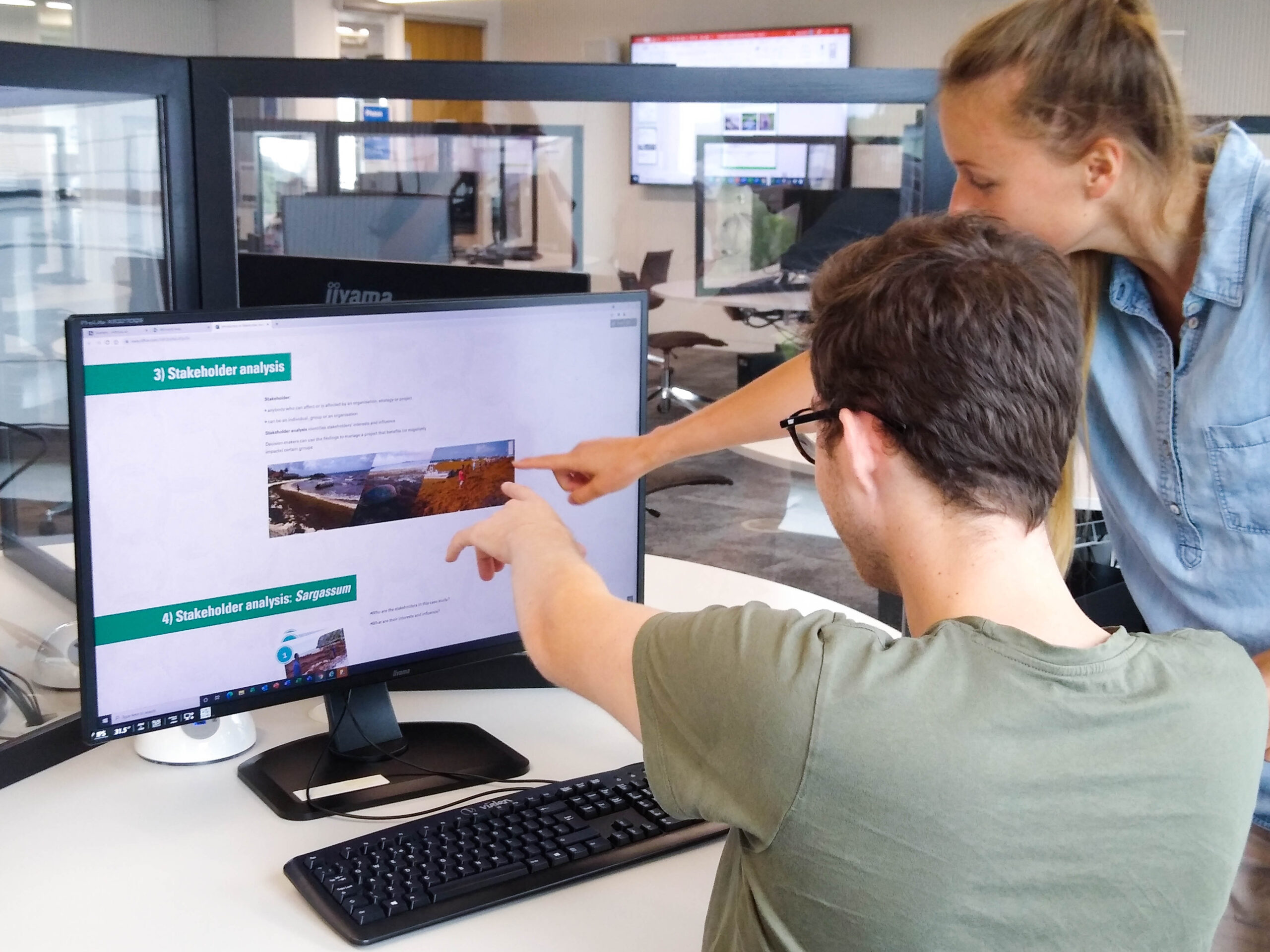
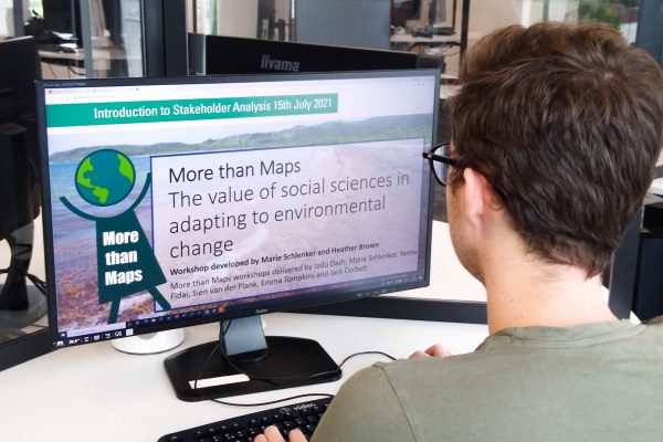
In this workshop, we will take a look at how studying the interests and complicated relationships of people and organisations can help to tackle environmental issues. Participants will be introduced to the concept of stakeholders and will learn to conduct a stakeholder analysis, using the emerging hazard of sargassum seaweed influxes in the Caribbean as a case study. This allows for plenty of time to practice the method, as well as provides an opportunity to examine and use qualitative data.
For further information send an email to Dr Sien van der Plank: sien.vanderplank@soton.ac.uk
To sign up your students head to: https://www.eventbrite.co.uk/e/more-than-maps-workshops-for-a-level-geography-students-tickets-188274984547
